


GeoTIM Web service

GeoTIM – Web service with artificial intelligence for automatic processing of GPR data, created with the purpose of fully automating the process of drawing the boundaries of structural layers on radargrams
The web service solves the problems of road services in terms of determining the actual structure of a road (thickness of structural layers) for further analysis of deformation processes
The target audience of the Web Service includes the following types of users:
• highway and airfield management
• road construction companies
• design and survey organizations
A prototype of software with automatic search of road structure layer boundaries on a GPR profile using artificial intelligence was developed with the support of the Foundation for Assistance to Small Innovative Enterprises (FASIE)
During the scientific work we managed to obtain the required result. The functionality of the application was developed:
• GPR data in the GeoReader Software package are converted into a format for further analysis in the GeoTIM web service. The web service is implemented in a cloud environment. Management from the GeoReader Software package is carried out using the GeoReader AI software application
• The interaction of the GeoReader AI software application with the GeoTIM web service via API has been established, including user authorization, sending raw data, viewing the queue for their processing, downloading the results of processing from the cloud environment.
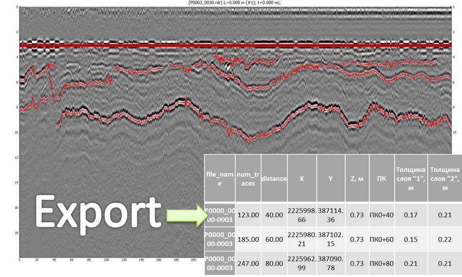
• Automatic search for the boundaries of road structure layers on the radargram is carried out using artificial intelligence technology based on a deep neural network
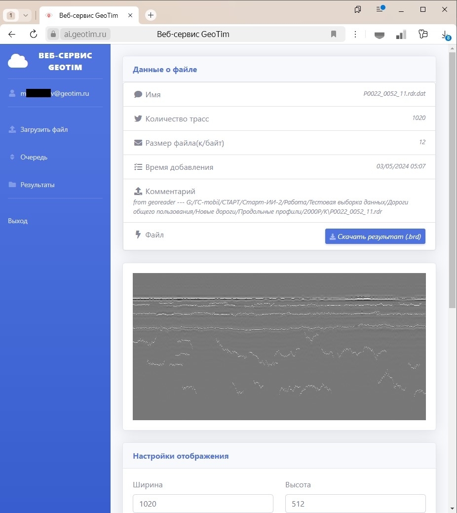
• The results of the vectorization of the road structure layer boundaries are combined with the original ground penetrating radar profile
In this case, the following parameters were achieved:
• Radargram analysis performance - minimum 500,000 traces/hour
• Radargram file size that ensures the stated performance - minimum 100 MB
• Support for radargrams of different lengths - from 128 traces
• Support for analysis of radargrams obtained by at least 5 types of antenna units in the frequency range from 250 MHz to 3000 MHz
• Accuracy (precision) of recognizing each reading in a georadar trace for the presence of a boundary in it, with a possible deviation of +-5 readings on a test data set not used in training artificial intelligence - at least 90%
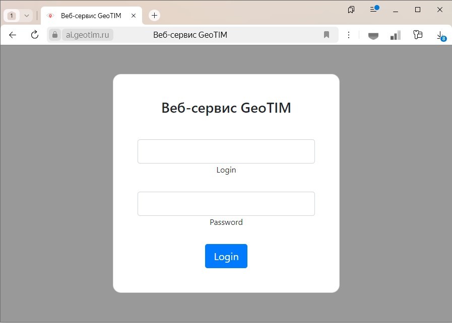
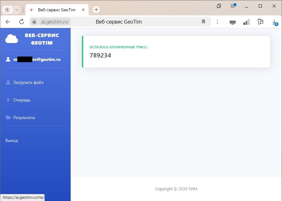
The GeoTIM software application is implemented as a web application and is available at https://ai.geotim.ru
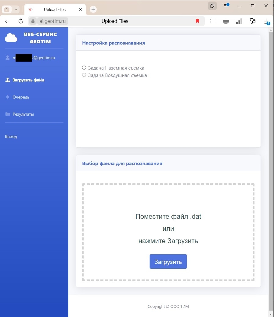
To download radargrams directly to the Web Service, they must be prepared and exported from the GeoReader software package to the *.dat format
To use the GeoTIM Web Service, you must have a license for the GeoReader Software package:
REQUEST A TRIAL OR BUY A LICENSE
It is also possible to prepare radargram files in the neural network format *.dat for processing in a third-party application (this option is provided through an agreement with TIM LLC under the affiliate program)
A set of georadar traces is recorded by special GPR software into a file – a radargram. Representation of radargrams in the GeoReader Software package in the form of images allows for operations on their processing and interpretation
Automatic boundary search in the GeoTIM Web Service is priced according to the financial policy of TIM LLC and depends on the volume of data sent for processing. The minimum unit of pricing is a georadar trace (pulse or electromagnetic signal of the georadar antenna, received as a reflection from the boundary between media with different geophysical characteristics). The fee is charged for processing each georadar trace in a set of radargrams and varies from 0.4 to 0.7 rubles/trace. Information on the tariff for a specific project is provided upon request to the mailbox of TIM - post@geotim.ru
Documents describing processes, functional characteristics and operational information can be downloaded from this page
The title documents for the intellectual property of "GeoTIM" have been received from Rospatent
The GeoTIM software application is included in the Unified Register of Russian Programs for Electronic Computers and Databases, registry entry No. 23402 dated July 25, 2024