


Video examples of data processing
GeoReader Software is developed to automate and improve the quality of processing radarograms of extended objects of the network of roads and railways, as well as to increase the information content and reliability of GPR surveys when diagnosing the current state of a structure, engineering surveys, construction control
GeoReader Software takes into account the functionality most demanded in practice both in Russia and abroad. Advanced technologies are automated controls in terms of determining the volume of laid road-building materials and their properties, automatically search for local inhomogeneities
GeoReader Software is software that meets the requirements of regulatory documents when surveying by GPR
GeoReader Software is developed for:
- road departments,
- road construction companies,
- design and survey organizations,
- research institutes
Examples of the GeoReader Software package:
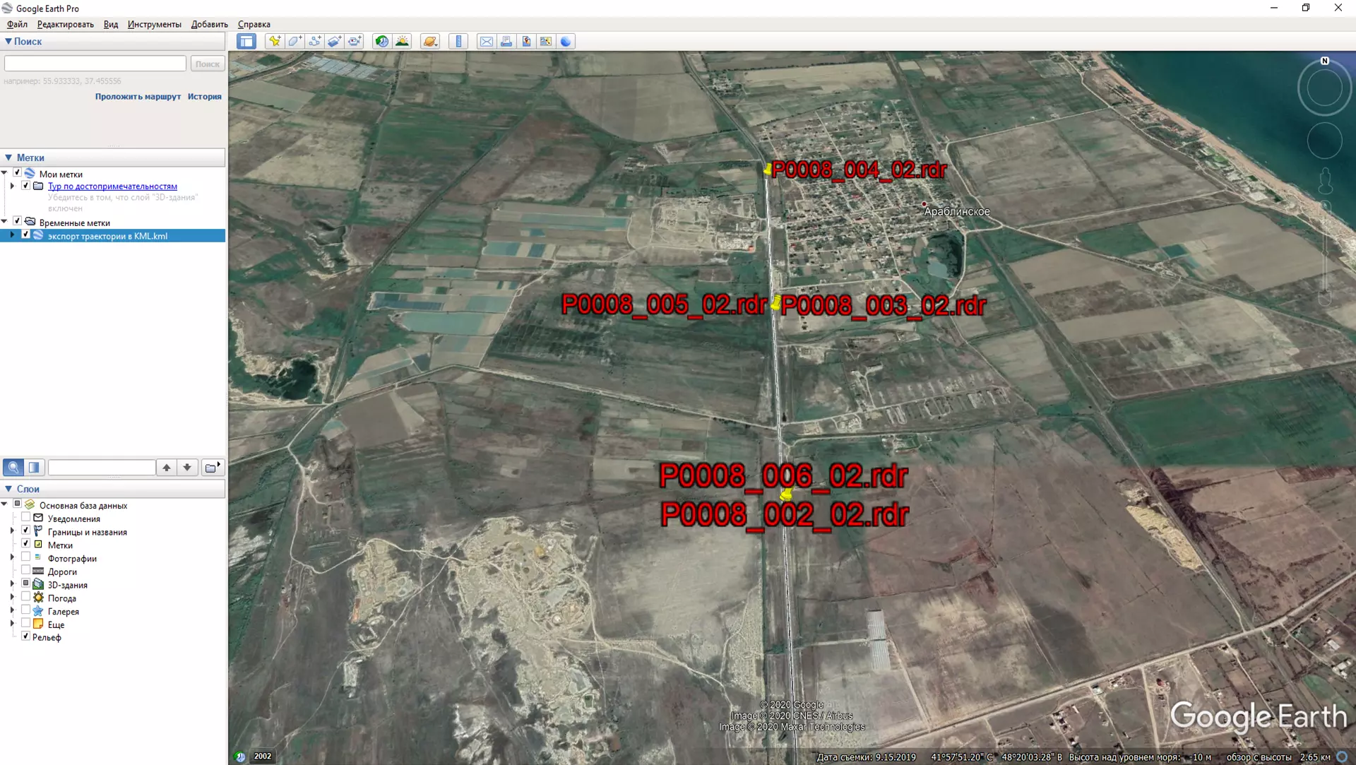
1). Define boundaries and export them to open formats (CAD and GIS)
2) Search for local inhomogeneities, attribute analysis in GeoReader Software
3) For the owners of the LOZA GPR, we have prepared a video clip about the capabilities of the GeoReader Software when processing radarograms
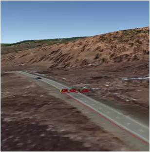
4) An example of presentation of GPR data of a road structure after processing in GeoReader Software and in a GIS system
5) Interpretation of radarograms with calibration of the layer model based on drilling results
.
The experience of practical application of the GeoReader Software package today is characterized by a set of tasks to be solved:
1. Support for import / export of data of various systems and formats;
Russian
- TXT for KROT Software (for LOZA by VNIISMI)
- GPR and GPR2 (for OKO by Logis-Geotech)
- TRZ (for GRT-XX by TerraZond)
World manufacturers
- DZT (for GSSI)
- DT1 (for GPR by Sensors & Software)
- RD3 (for GPR by MALA)
- SGY (general format, Radar Systems)
2. Batch work with files - allows you to process several parallel profiles at the same time;
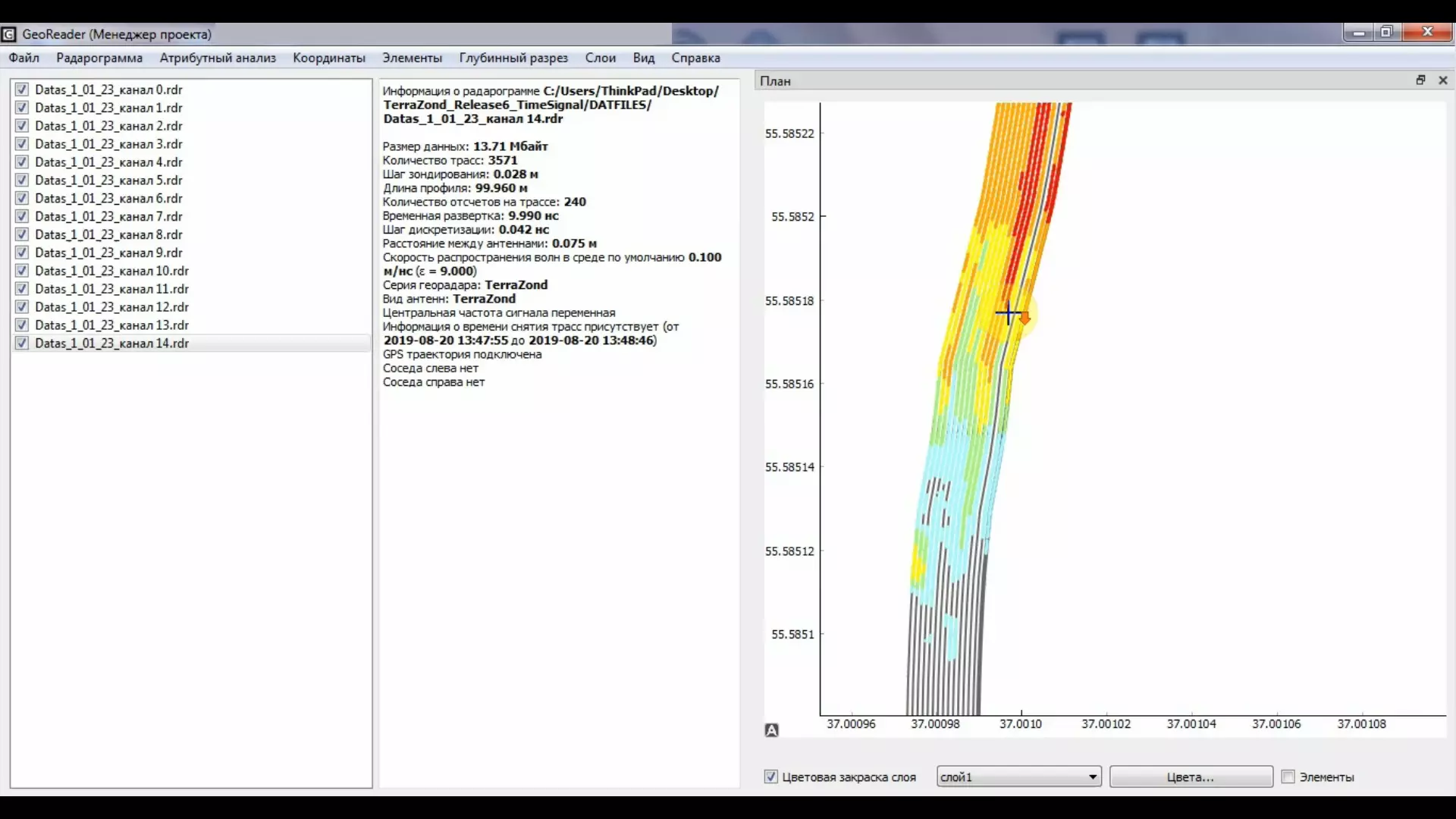
3. Geodetic data referencing in the project coordinate system;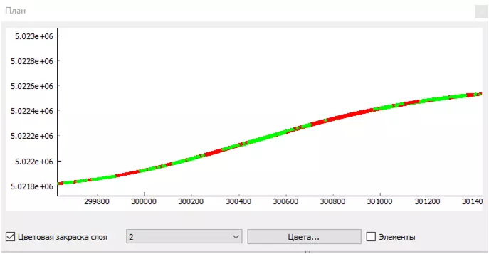
4. Building 3D surfaces of road layers;
5. Creation of a layer model with accurate calibration from drilling data;
6. Automated determination of the thickness of asphalt concrete without drilling using the amplitude method;

7. Automatic search of local inhomogeneities using the batch attribute analysis without operator participation;

8. Justification of drilling sites and creation of a digital model of the location of wells in the project coordinate system

9. Export to CAD and GIS in open formats for creating and managing information in the implementation of BIM projects

