GeoReader AI - software for finding boundaries using artificial intelligence
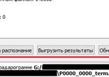
GeoReader AI software is designed to transfer radargrams of a georadar project to a cloud service for automatic search of road structure layer boundaries on a georadar profile using artificial intelligence, as well as for receiving data generated by a neural network. Artificial intelligence allows for fully automatic search of road surface layer boundaries on radargrams, which makes road surveys quick and easy, saving expert time and employer money
The GeoReader AI software application was developed with the support of the Foundation for Assistance to Small Innovative Enterprises (FASIE) within the framework of the Start-22-2 AI program (stage V) / Advanced Methods of Artificial Intelligence
GeoReader AI is an additional software application of the GeoReader Software package and, accordingly, can work both in the package and separately. For this purpose, algorithms for exchanging information between the component applications have been implemented - GeoReader, GeoReader Project and GeoReader AI. With the help of GeoReader AI, data exchange from the georadar project of the GeoReader Software package with the GeoTIM web-service has been implemented, which includes artificial intelligence for processing GPR data - automatic search for the boundaries of the structural layers of the road structure
Access via the GeoReader software package is a mandatory condition for using the GeoReader AI software, since the other software applications of the software package (GeoReader, GeoReader Project, GeoReader AmplitudeMap) allow high-quality processing and interpretation of the georadar project
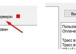
The GeoReader AI software application is supplied with the GeoReader Software package, and the GeoTIM web-service, which GeoReader AI accesses to process radargrams using artificial intelligence, is priced according to the TIM tariff scale (information on a specific project is provided upon request to the TIM company mailbox - post@geotim.ru). The fee is charged for processing each GPR trace in a set of radargrams and varies from 0.4 to 0.7 rubles/trace
Documents describing processes, functional characteristics and operational information can be downloaded from the links
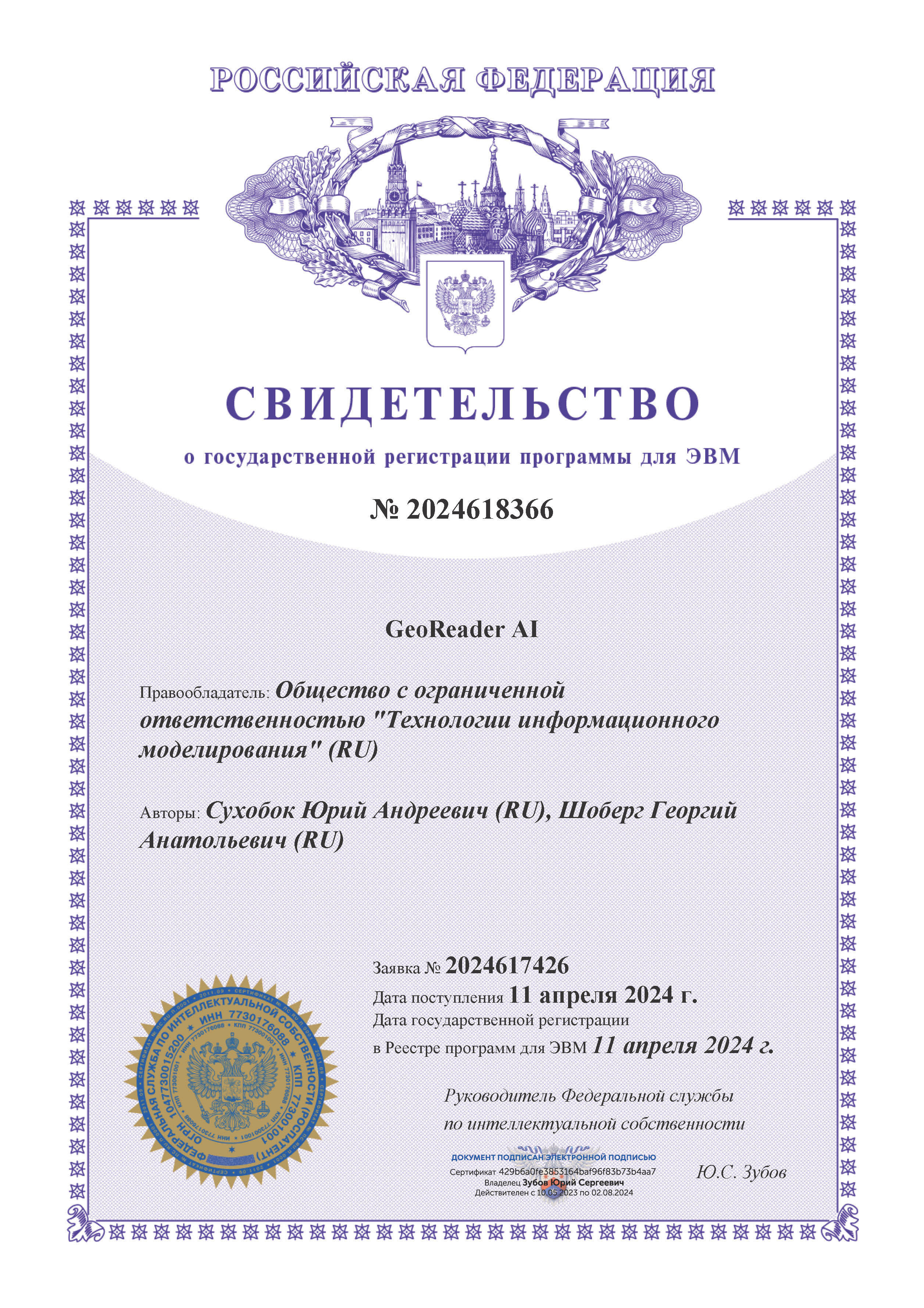
The title documents for the intellectual property of "GeoReader AI" have been received from Rospatent
An application for registration in the Unified Register of Russian Programs for Electronic Computers and Databases has been submitted, No. 307512 dated 06/24/2024
HARDWARE AND SOFTWARE REQUIREMENTS FOR SOFTWARE
System requirements:
• Operating system – Microsoft Windows 7, (10, 11)
• OS bit depth – 64 bit.
• Processor with a frequency of at least 1 GHz
• RAM – at least 8 GB
• Video card – at least 256 MB with OpenGL support
• At least 10 GB of free disk space
When activating the GeoReader Software package using a USB key, a working USB port is required
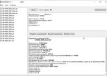
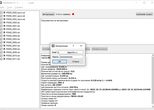
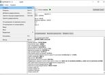
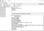
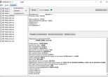
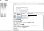
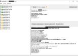
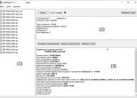
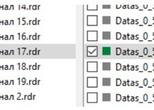
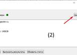
Скриншоты основных окон интерфейса программного приложения GeoReader AI