Artificial intelligence for processing GPR data
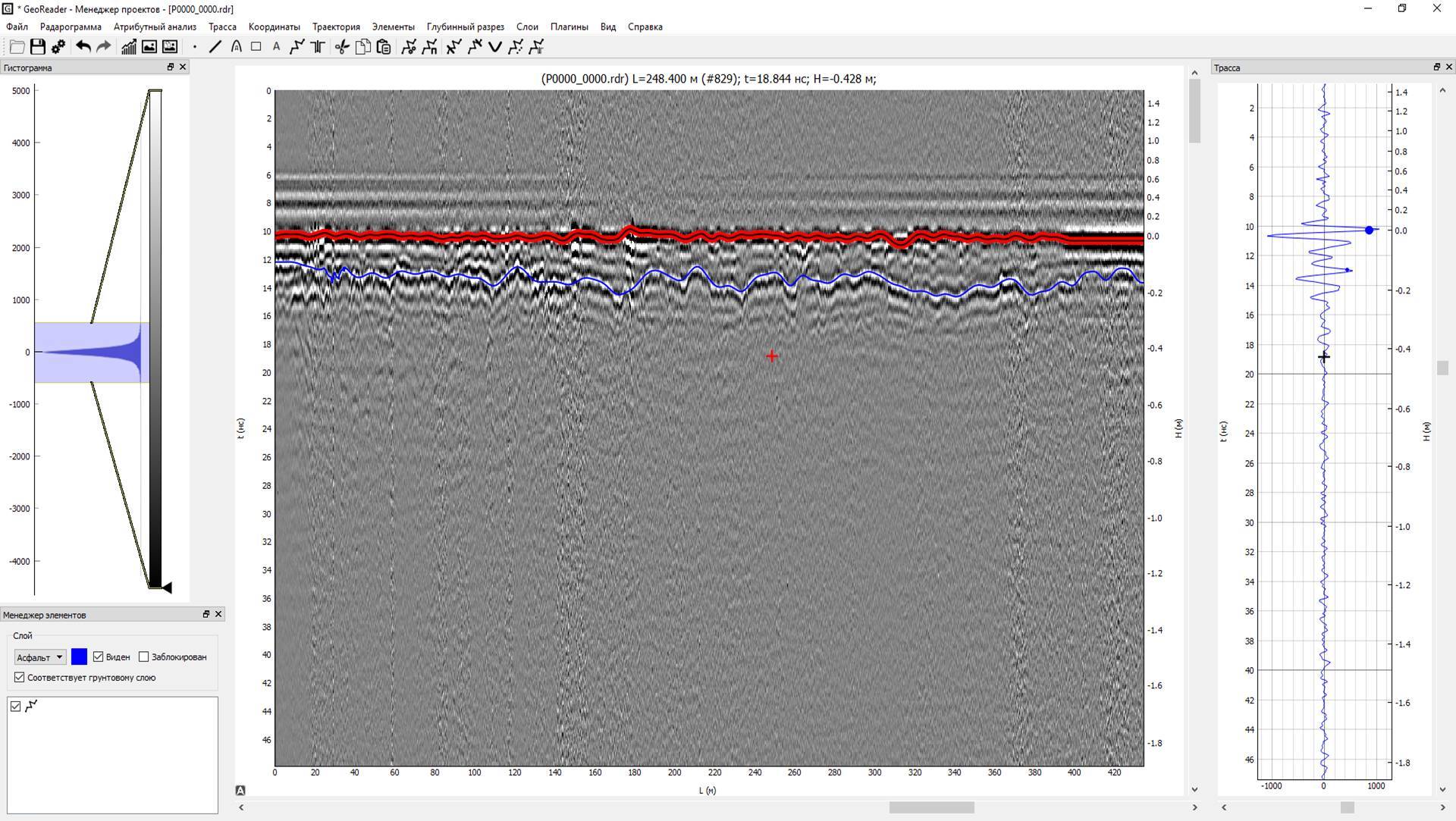
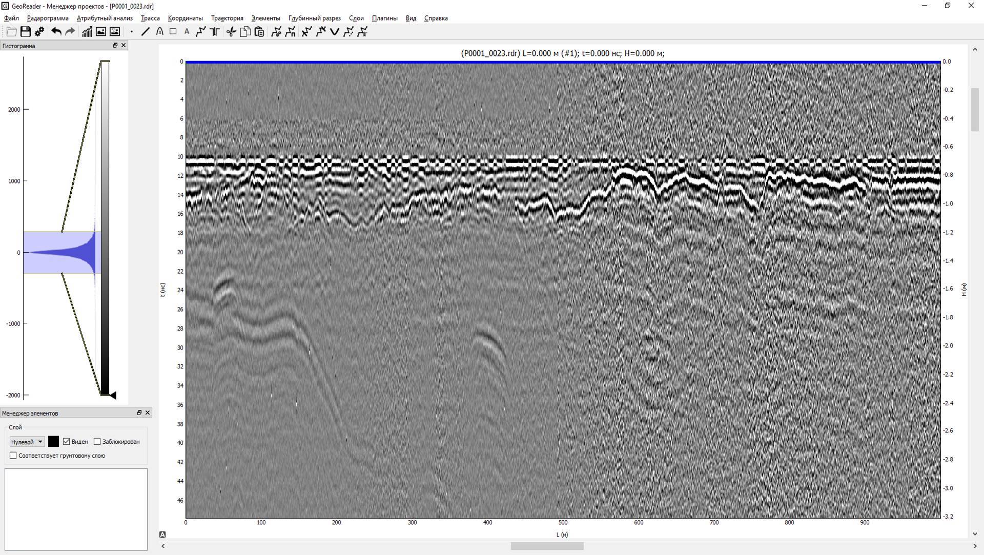
Reducing the expert dependence of the GPR method in terms of processing GPR data of roads and railways, other extended linear objects, is a priority area of the TIM LLC. We implement our ideas and wishes of users in the GeoReader Software package. Currently, the algorithms for the automated search for the boundaries of structural layers of road structures are already showing high performance - even during the development (at the R&D stage), the minimum productivity of 76 km of GPR profile per shift was officially established. In the latest versions of GeoReader Software, we have added the ability to copy borders (with automatic correction) to neighboring profiles of a multichannel 3D GPR (georadiotomograph GRT-XX) of the TerraZond company, which increased productivity tenfold
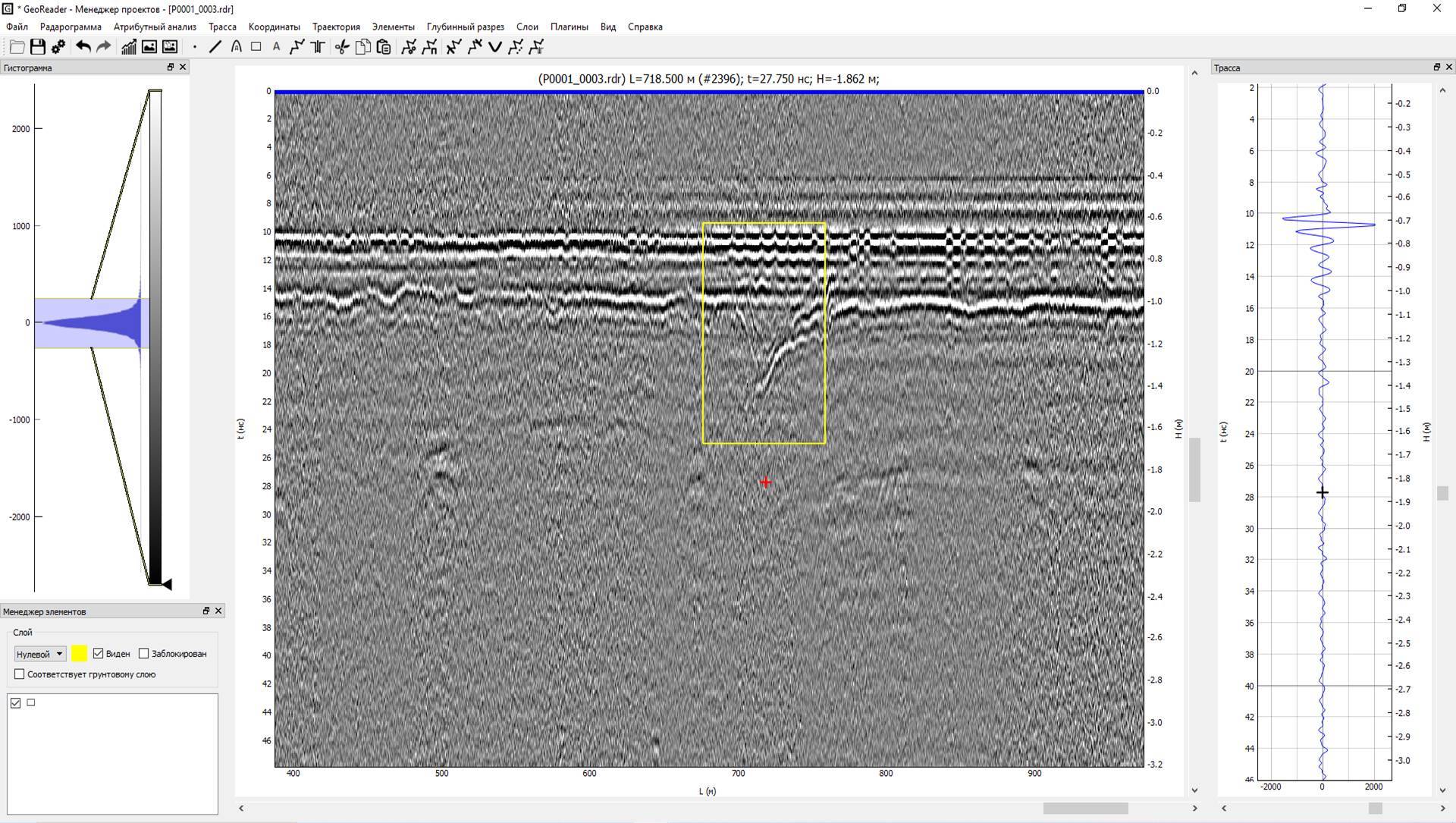
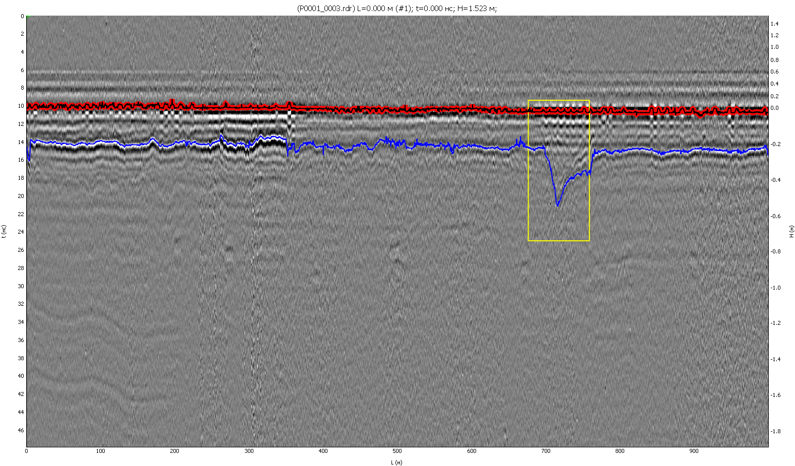
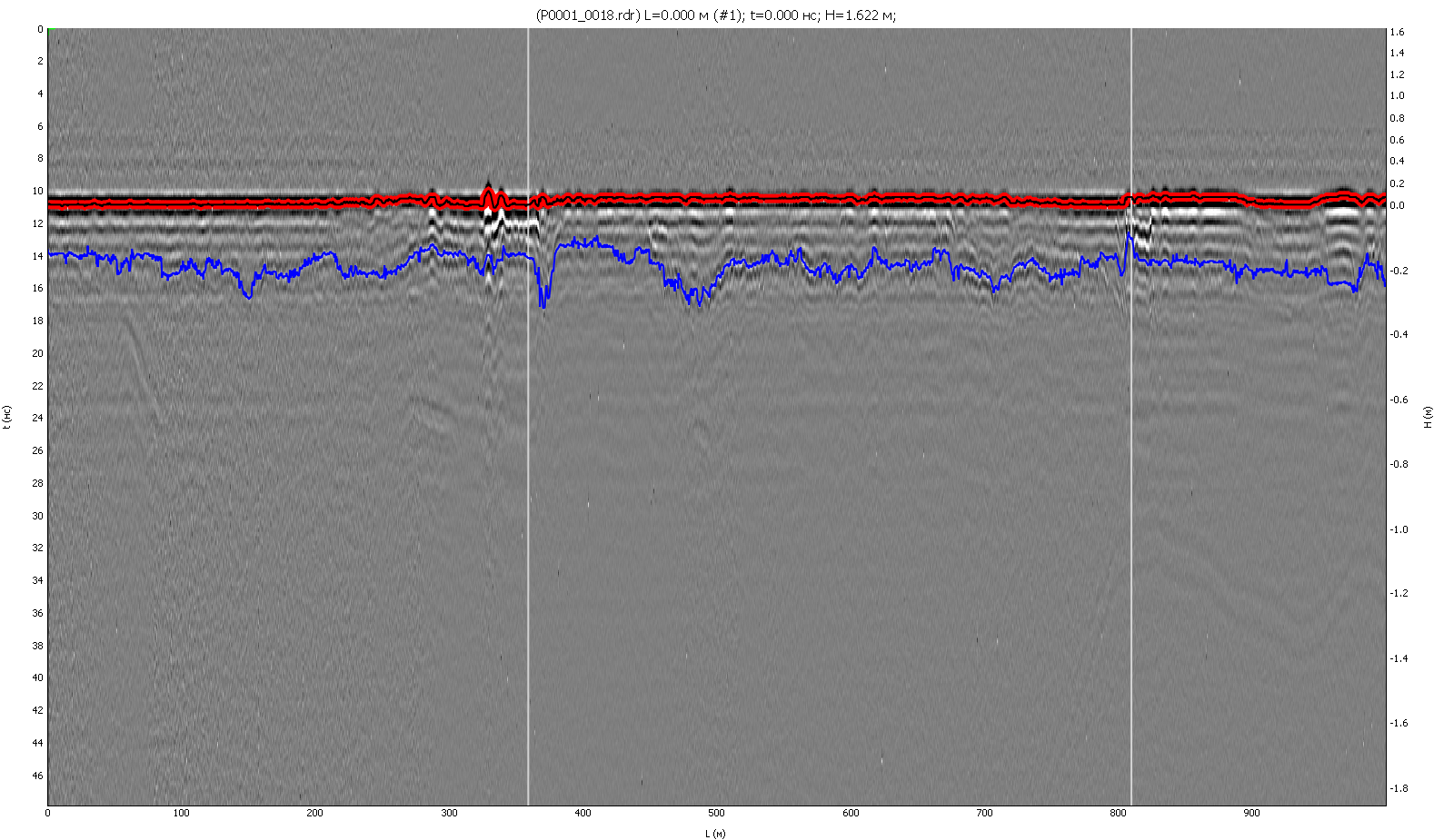
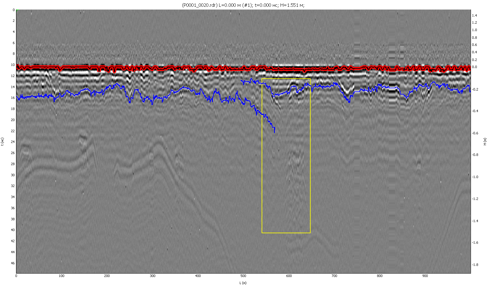
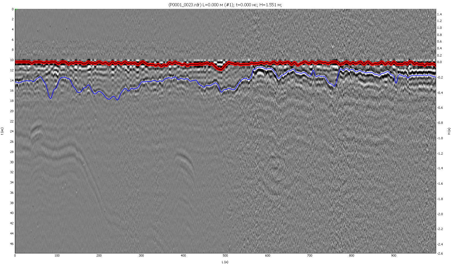
Fully automatic drawing boundaries of the layers of road constructions helps to determine the thickness of the laid layers, the places of subsidence due to suffusion-karst processes and formations, or for other reasons of a natural or man-made nature. Often, the use of a GPR with the performance of this task allows the Developer to avoid claims from the Customer, and the Customer - to make sure that the design parameters of construction or repair are observed
Since the beginning of 2021, TIM LLC has been developing and testing a neural network, the task of which is the fastest and most accurate drawing of the boundaries of structural layers using GPR data
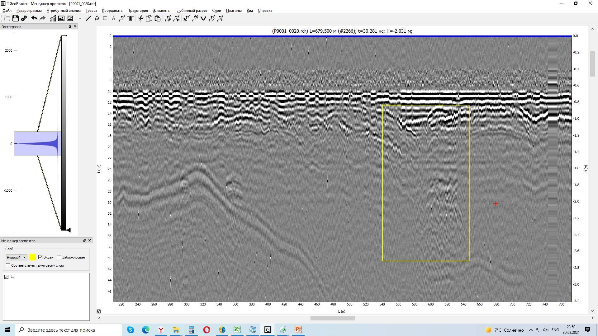
Since training a neural network requires large amounts of data, we collected 300 km of GPR data on the roads of Moscow. Pre-processing already shows interesting results for the Developer - there are certainly places of subsidence, structural anomalies and significant deviations of the structural layers of road constructions. However, in our work, this data will help artificial intelligence learn to automatically indicate such places. As they say, no trouble without good!
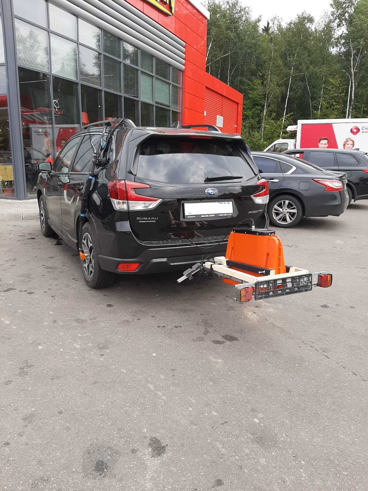
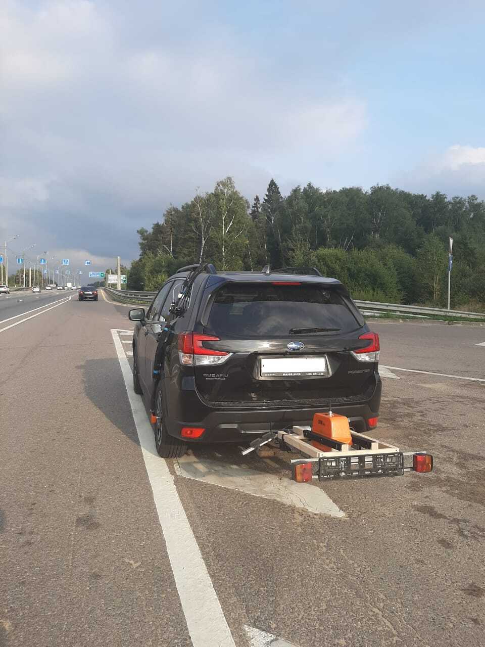
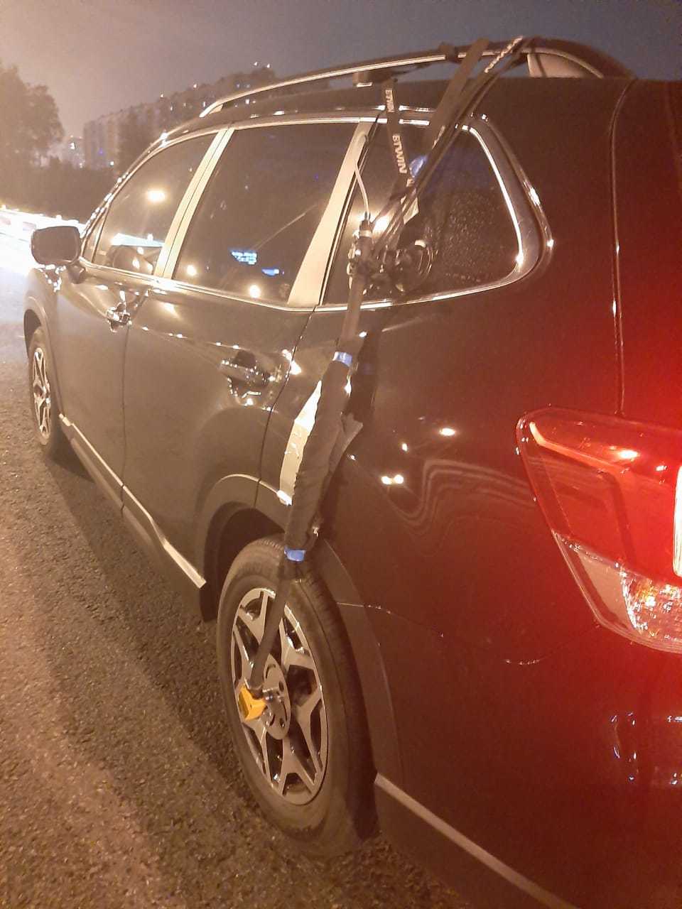
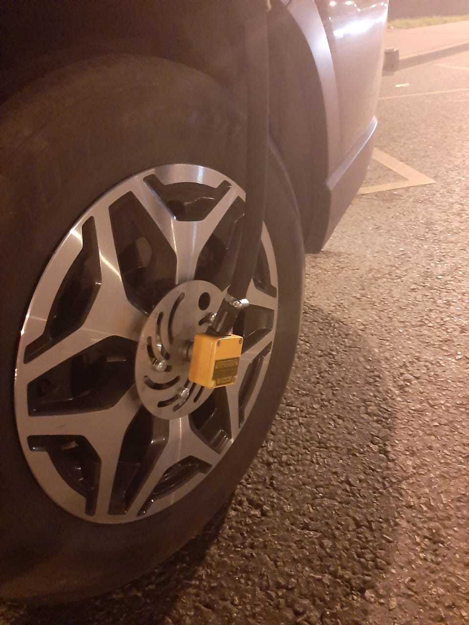
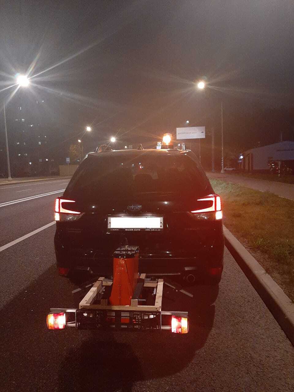
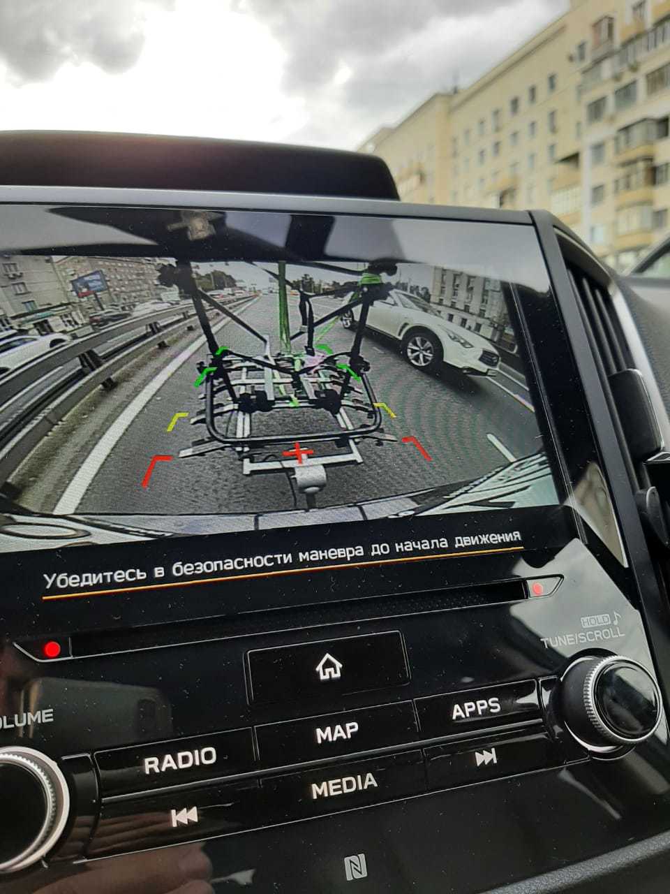
Data collection was carried out using GPR equipment of the OKO-3 series, manufactured by the Logis-Geotech company, antennas - 1000 and 2000 MHz - this combination showed a good result for assessing the upper layers. Our colleagues from the Logis-Geotech helped with the choice of configuration, adjustment, because for each specific work, the GPR equipment adjusted in accordance with the tasks to be solved
Follow the GeoReader Software development news!


