Agreements were reached on partnership with the TerraZond company
In August 2019, the first contract was concluded, implying a partnership, between TIM LLC and the TerraZond (research and production association)
NPO (scientific production association) TerraZond is a developer and manufacturer of GRT-XX multi-angle georadiolocation (GPR) equipment. Read more about equipment and technology...
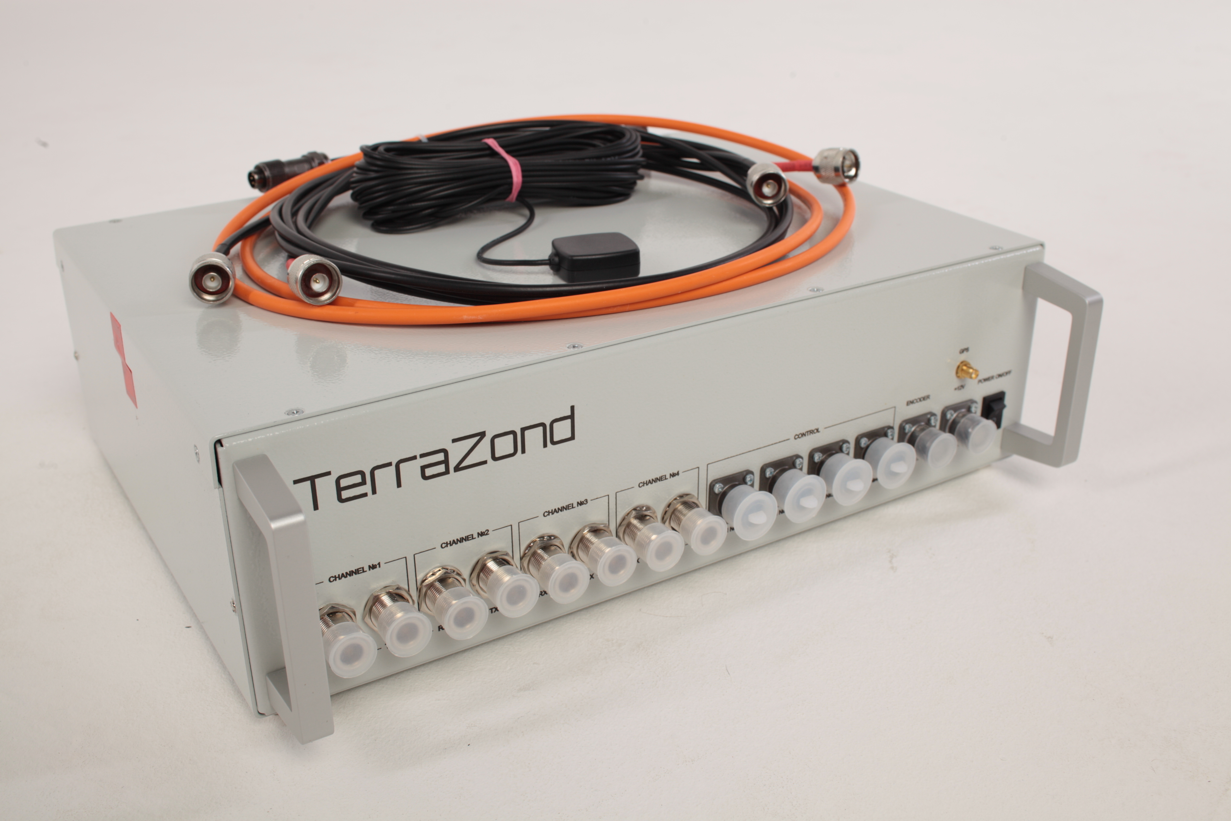
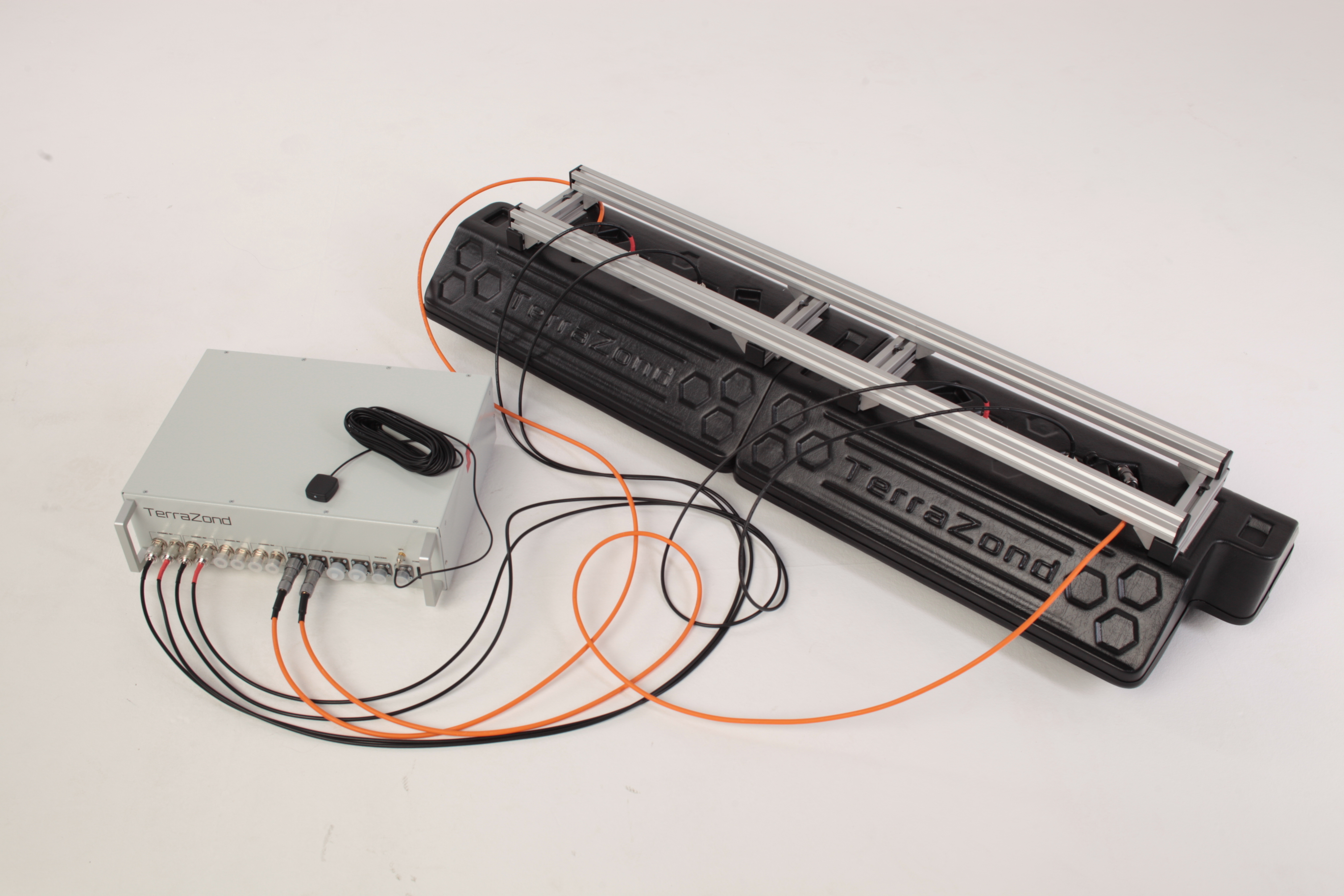
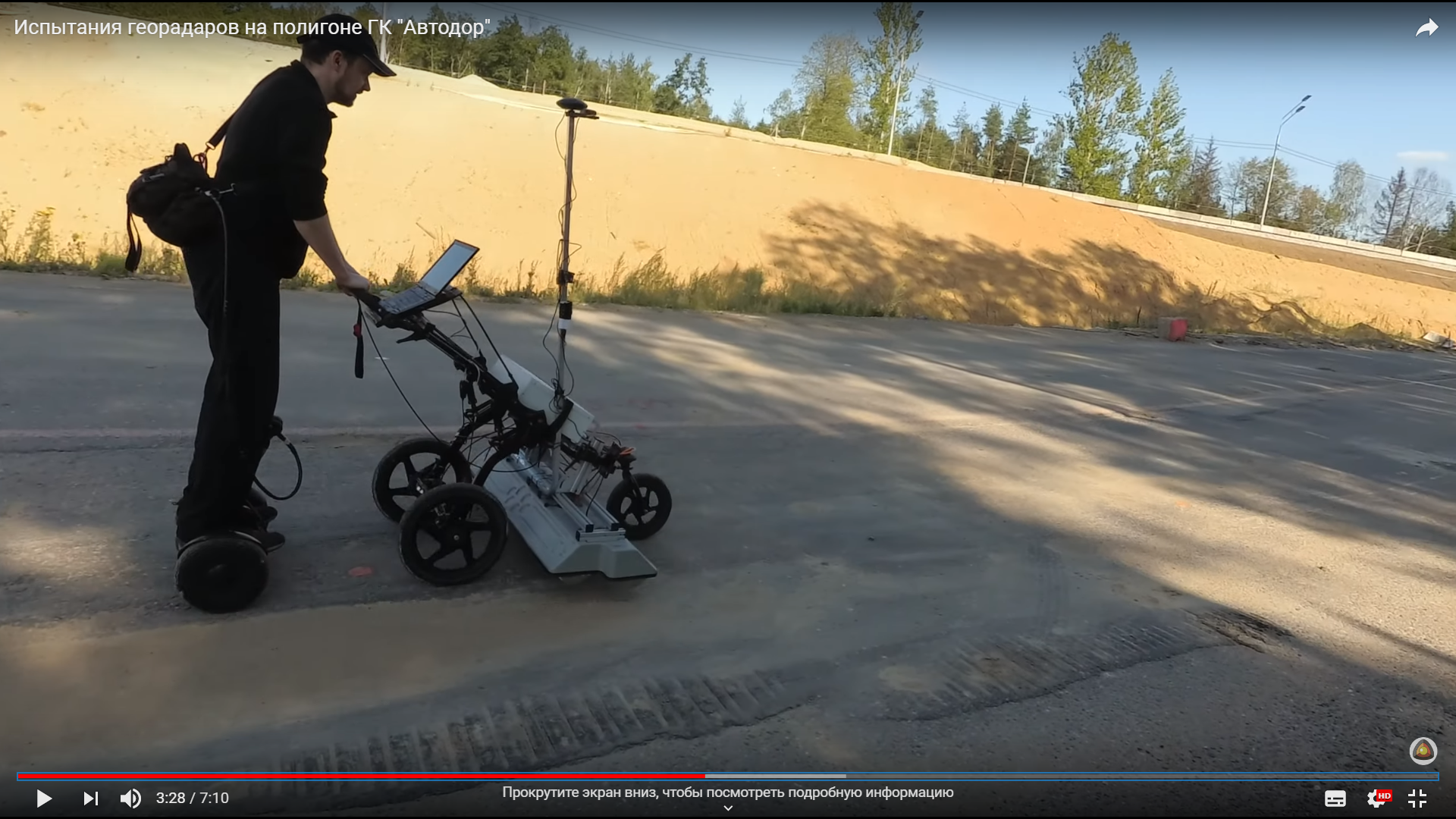
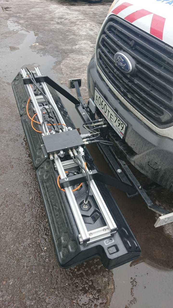
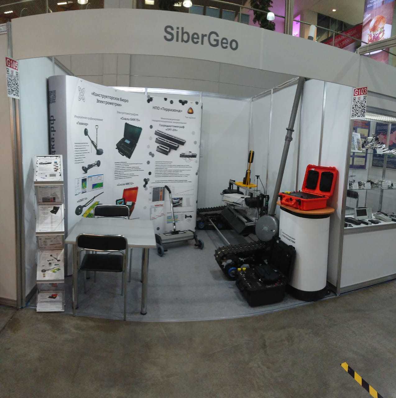
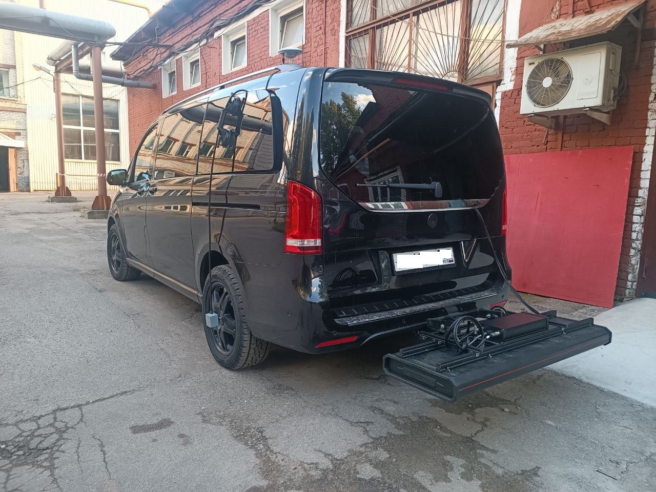
The concept of a hardware-software complex for volumetric sensing originated in 2006. Since 2012, the development of GRT-XX georadiotomograph equipment has been carried out jointly with Radiovision LLC
Currently, the research and production association “Terrazond” is engaged in the production of the georadiotomograph. The company carries out production within the framework of a decentralized model, actively uses outsourcing opportunities, including contract manufacturing, which allows it to get rid of significant costs for creating and maintaining excess production capacity and at the same time focus on its key competencies - research and development, production of individual components and hardware units, assembly of final products, marketing and service, as well as information and technical support. More information about NPO "Terrazond" can be found on the company's website - https://terrazond.ru/
The first GPR-data of GRT-XX, received from the Terrazond company, was read by the employees of TIM LLC, but no more, since the simultaneous processing of up to 31 exact-parallel profile GRT-XX did not satisfy the principles of batch processing in terms of the simultaneous processing of all profiles, it took a lot of time
An in-depth analysis was carried out, algorithms were developed specifically for the GRT-XX radarogram format using machine learning methods for neural networks and attribute analysis. Thanks to constant processing communication with the developer of GPR equipment, satisfactory results were obtained - now processing of GRT-XX radarograms with technical characteristics - for multichannel up to 31 parallel profiles, a step between a profile of 7.5 cm and a maximum scanning width of a roadbed up to 2.325 m - takes time no more than simultaneous processing of 1-4 profiles of other formats
GPR data of the multichannel georadiotomograph GRT-XX (3D GPR equipment) obtained using the GeoReader Software package, make it possible to characterize deviations in the thickness of the first layer (asphalt concrete) from the standard values and interpret the values visually and geographically (with uploading to formats with an open specification - CAD and GIS) for a more detailed analysis and development of measures to prevent road destruction
An example of determining the thickness of a layer of asphalt concrete using GPR data GRT-XX:
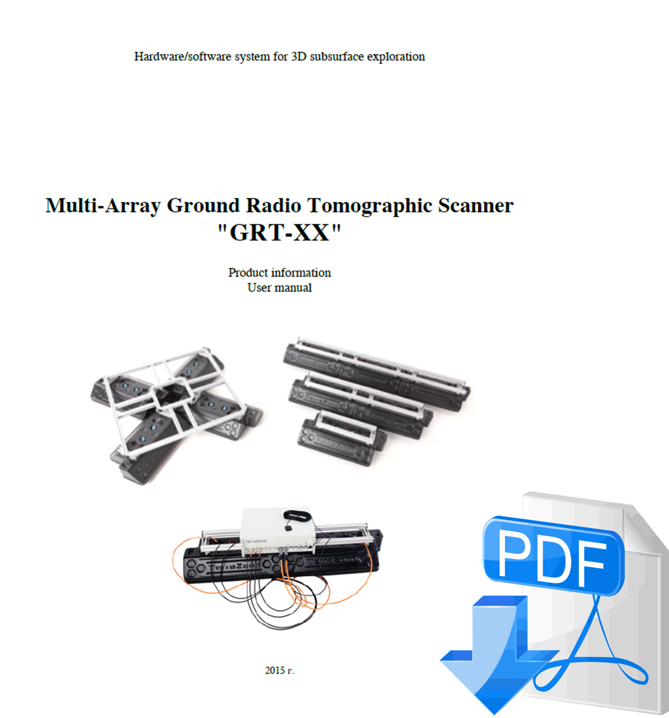
Information about the GRT-XX georadiotomograph from NPO Terrazond can be found in the General Technical Manual:
You can also purchase a GRT-XX georadiotomograph with our help - send your request to post@geotim.ru or post@geotim.org


