


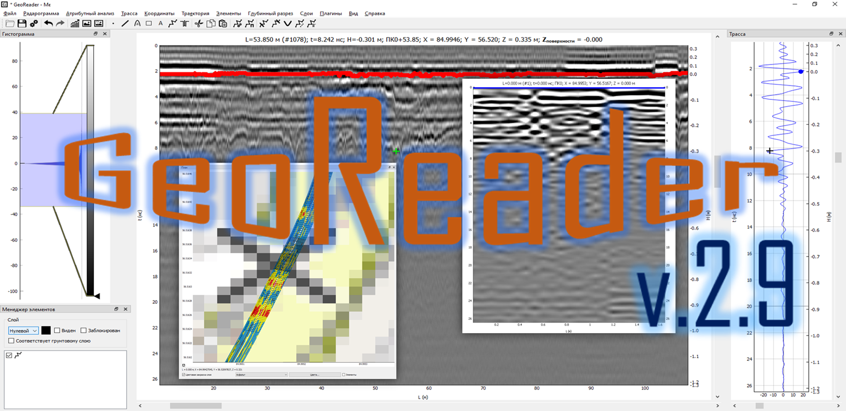
Presentation of version GeoReader v2.9
Hello, dear user of GeoReader Software and guest of our site!
We present to your attention the version of GeoReader v 2.9.
In the new version, the following functionality has been improved:
1) generation of transverse profiles (along the antenna array) for multichannel GPR data (for example, GRT-XX of the Terrazond company)
2) changing the scanning step (with automatic recalculation of the profile length)
3) added stationing when exporting point elements to CSV. This function is useful in the case when marks are put down according to anomalies on the radarogram, and after that, transverse GPR slices are built using the marks
4) added a test algorithm for rendering layers in 2D and 3D format
5) it is now possible to add labels (vertical lines) to GeoReader via the Elements - Add Label (vertical line) menu
6) now it is possible to import labels from CSV into GeoReader Project (in the Elements menu)
7) in beta format added functions for constructing full amplitude maps for linear-extended profiles and building simplified amplitude maps for TerraZond GPR data
Let's take a look at the most interesting..
The use of a multichannel GPR makes it possible to perform a GPR survey with a large amount of data and to study in detail the places of anomalous zones of a road structure in the longitudinal and cross sections using the GeoReader Software package.
Longitudinal GPR profiles contain information about the places of deformations of the road structure on the plan and their characteristic features (size, shape, sign of a defect, etc.). However, in places of deformations, it was not previously possible to represent the structure of the road along the width of the passage (recall that Terrazond's GRT-XX antenna arrays allow the collection of GPR data with a transverse pitch between antennas (along the antenna array) of 7.5 cm and a maximum width of 2.325 meters).
Today, the GeoReader Software version 2.9 adds the ability to construct transverse profiles (along the antenna array) with a given step of the entire project (using GPR traces), using selected marks (imported from a CSV file), or along a selected area with a specified step between traces. The selection of transverse profiles (along the antenna array) allows you to verify the presence of deformations in certain places of the road structure and measure their depth and width
According to the data of the GRT-33 Terrazond georadiotomograph (3 antenna modules) with a step of 33 cm, transverse profiles were automatically constructed along the entire passage, with a profile length of 768 m. Thanks to the newly developed functionality of the GeoReader software, it was revealed that additional calibration of each GRT-XX module was required - along the antenna gratings, according to the height of signal reception. In the latest version of GeoViewer (preprocessing of field data GRT-XX), this feature is implemented
Stay tuned for updates to the GeoReader Software package
We invite you to try GeoReader Software in your work!