


Presentation of version GeoReader v2.7
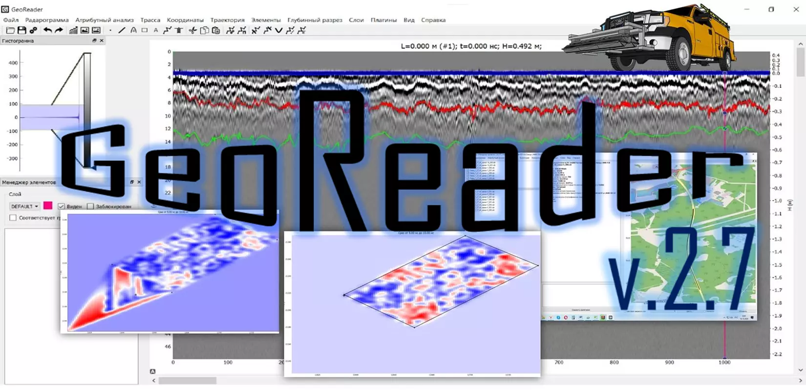
Dear users and guests! We present to your attention the version of GeoReader v2.7 - specialized software for automated processing (interpretation) of GPR data
This time, changes and improvements were made to the following algorithms and functions of the software package:
In the unit for processing one radarogram GeoReader:
1) The layer now has a "Locked" property. If a layer is locked, elements within it cannot be selected by clicking on them. By default, the label layer is locked
2) Specific elements also have a "Locked" property
3) The surface (i.e. the bottom of the air gap) is now rigidly fixed (not tied to elements, boundaries). Displayed in blue in the picture
4) You can add a comment to the layer (for ground layers, you can write layer material there). Layers menu item - Change comment for layer
5) By default, the surface corresponds to the top of the radarogram. If you want to shift it to some kind of border, it is necessary to select the border and select the menu item Elements - Working with broken lines - Set the surface of the border. In this case, the surface will sit on the border, and the border will go to a new layer called "Zero clearance"
6) When importing radarograms, a quick transformation of the time section into a depth section is immediately performed
7) By default, the Z coordinate corresponds to the top of the radarogram, i.e. GPR position. But if we want Z to be shifted to the surface (if Z = 0, for example), then for this we need to select the menu item Coordinates - Set a single elevation and check the "Shift Z to surface"
In the block of batch processing of radarograms GeoReader Project:
1) appeared cursor synchronization between the plan and radarogram
2) there is a new menu item Layers - Layer Construction
3) duplicated the functions of GeoReader:
This item sets the design of layers for the entire project
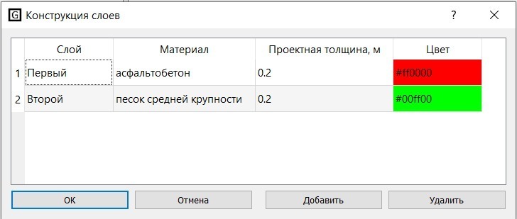
When specifying a structure, layers are automatically added to all files, their color is adjusted, and their order is determined. All layers that are not part of the structure are declared as non-ground (except for zero clearance)
4) when calculating a layer model, the order of layers described in the structure is taken into account. If on some route in the underlying layers there is no boundary, and in the overlying layers there is, then the thickness calculation is performed only for the overlying layers (in previous versions, the calculation was not performed in this case)
5) now you can set the current layer, as well as adjust the visibility (or invisibility) of the layer
6) changes have been made to the export of images
7) picketage (mileage) is set in end-to-end mode
8) when tying the well to the boundaries, the materials in the wells are recorded automatically
In the module for working with amplitude maps GeoReader AmplitudeMap:
1) now it is possible to specify a useful area, outside of which interpolation is not performed
To do this, you need to create points that show the vertices of the polygon - the useful area:

Then select the menu item Amplitude maps - Set useful area
The result looks like this

2) To clear the useful area, the menu item "Clear useful area"
3) Also added cursor synchronization between amplitude maps and radarogram
Enjoy your work! Remember that you can always send us questions and suggestions to post@geotim.ru