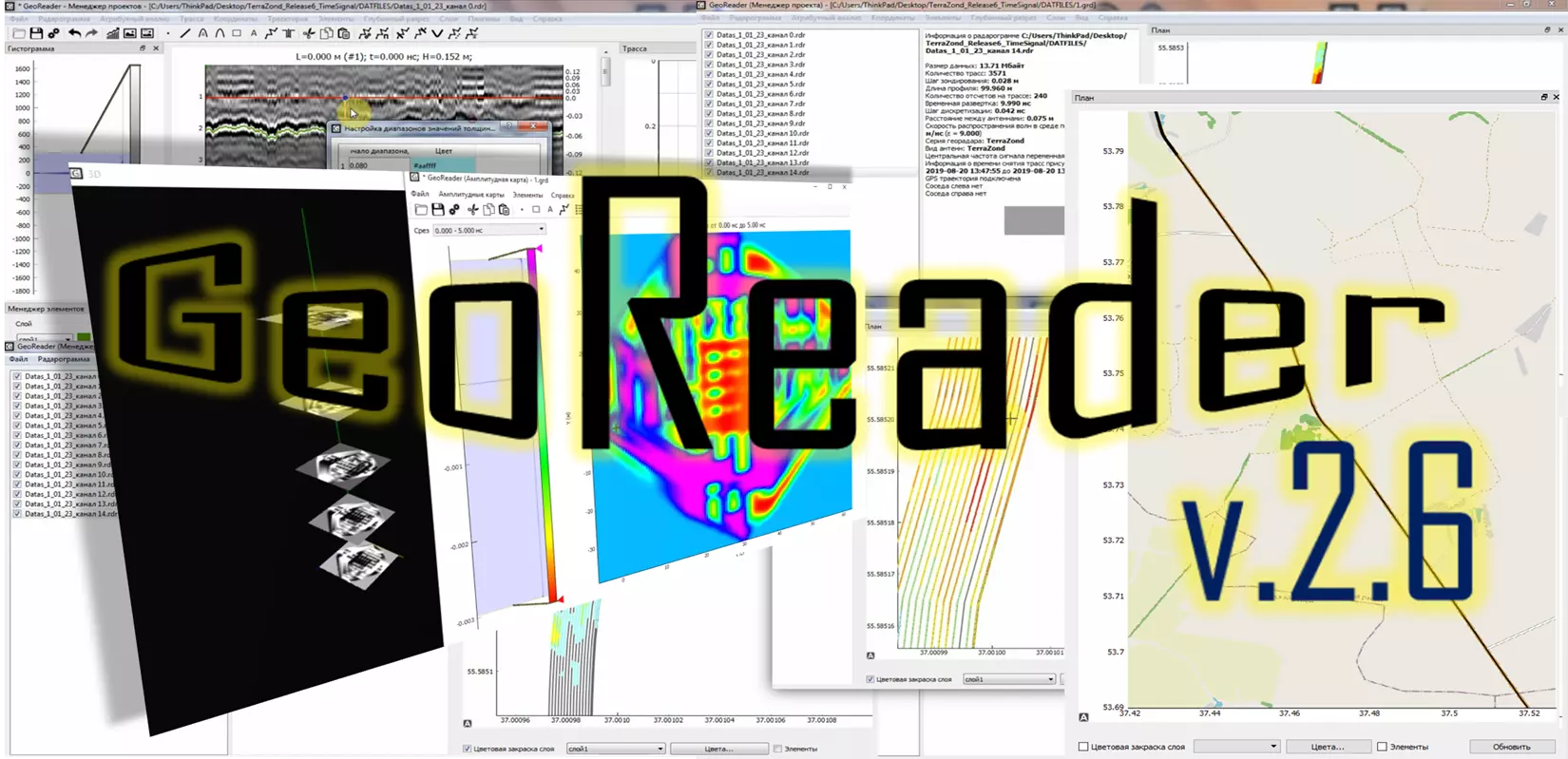
Presentation of version GeoReader v2.6

Hello, friends! Today we hope to please you with the version of GeoReader v2.6
With a team of developers we have taken into account the wishes of users, in particular:
1) added color scheme from Krot software (for LOZA GPR)
2) improved work with elements on amplitude maps: add, delete, move, change properties, copy / paste
3) from GeoReader Project it is now possible to set velocity according to well data for all layers
4) the separator between the integer and the fractional part is always taken from the settings (previously there was strictly a period)
5) mileage added, picketage can be removed. If the language is not Russian, then the picketage is removed automatically. This function is relevant for foreign users, where there is no concept of "picketage" and the length is calculated in kilometers
6) completely changed the procedure for calculating the layer model, added the "Update" button in the GeoReader Project under the plan window
7) when exporting layers to SHP added attribute - color
8) a list of all calculated substrates is saved, you can go to each of them
9) a map from openstreetmap appears in the plan window (only if the coordinates are geographic and if a special setting is enabled)
10) amplitude maps can be called directly from GeoReader Project (View menu)
11) when selecting a trajectory in amplitude maps (with the right mouse button), the corresponding project is selected in the GeoReader Project
12) added 3D representation of amplitude maps
Enjoy your work! Write reviews about new functions, we are also open to implement your ideas in the GeoReader Software package...


