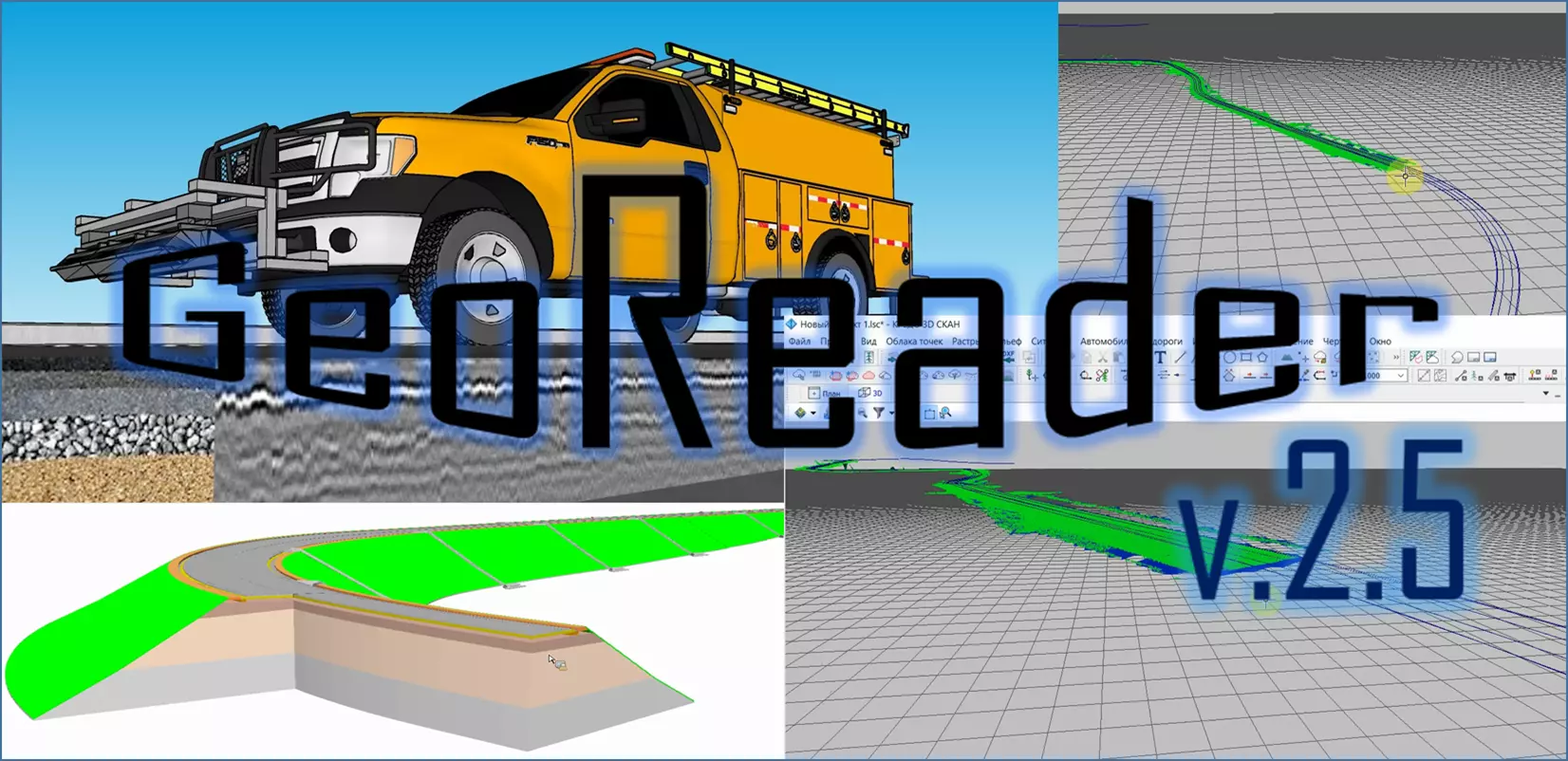
Presentation of version GeoReader v2.5

In version 2.5 of the GeoReader software, a lot of work has been done to update the mathematical algorithms for the segmentation of attribute analysis, and also added data uploading to LandXML for further processing in such software products as Bentley Microstation, Topomatic Robur, AUTODESK Civil 3D, CREDO 3D SCAN and others Computer-aided design systems
Among others, the following functionality has been added:
1) changed texture analysis - after updating the mathematical algorithms, the function began to work faster
2) added the ability to cancel long-running operations
3) added the ability to add comments to the radarogram
4) added history of operations (in the form of commands)
5) added modified format of LOZA GPR
6) autosearch for boundaries began to work not only over the original radarogram, but also over the attribute analysis


