


Presentation of version GeoReader v2.3

GeoReader v2.3 is a software package that was originally developed specifically for road workers. More about the functionality:
1) GeoReader:
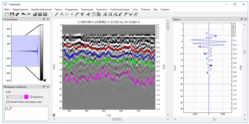
- importing GPR-data and editing of radarograms
- export of results of radarogram interpretation to CAD and GIS
- work with trajectory
- finding layer boundaries
- borehole model creation
- automatic determination of the thickness of asphalt concrete without drilling
- creating a model of road structure layers
- attribute analysis when searching for anomalies
- joint analysis of GPR data and other diagnostic systems, incl. Falling Weight Deflectometer (FWD)
- import of GPR-data and editing of a series of radarograms
- export results of interpretation of series GPR profiles in CAD and GIS
- work with a trajectory for a series of radarograms
- attribute analysis of the series of radarograms
- displaying the thickness of the pavement layer in the plan window in different colors
We invite you to get acquainted with the trial version for free!
Ask a Question
Write us your question